#315 & #320 Summary – Breach of Section 21 of the Surveying & Spatial Information Act 2002, Unregistered persons not to practise land surveying, two counts.
To protect the public and the integrity of the cadastre BOSSI continues to prosecute unregistered surveyors for performing land or mining surveys.
In September 2024, BOSSI was successful in prosecuting NSW Land Services for providing a land survey for fee or reward without adequate supervision from a Registered Land Surveyor (RLS) on two occasions.
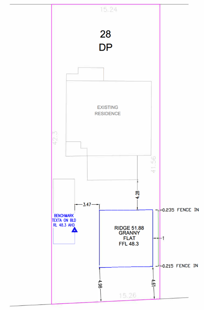
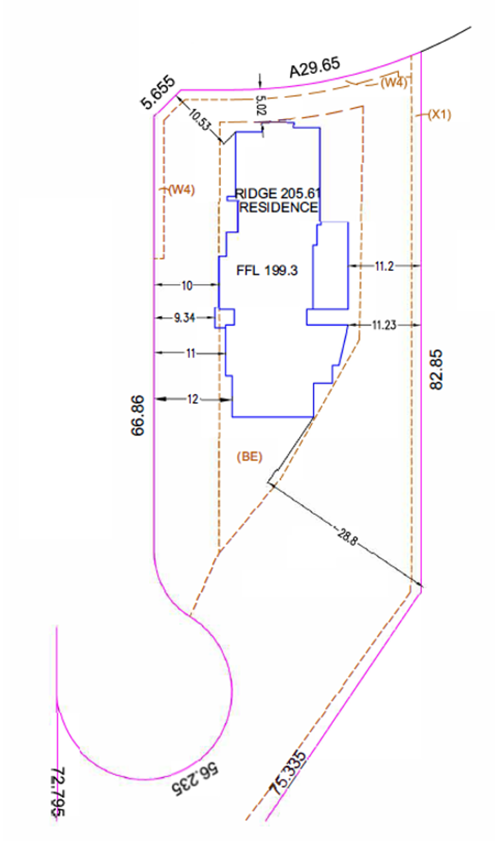
In November 2023, NSW Land Services (the company) provided an identification survey for the purpose of erecting a new construction near the boundary of an adjoining property in Seven Hills, NSW with the affected neighbour lodging a complaint with BOSSI. Subsequently, BOSSI investigations revealed the “nominated” RLS was not involved in the preparation of this survey plan. During the investigation a further identification survey was also discovered in Wilton NSW, of which the nominated RLS also had no knowledge of.
The defendant was unable to provide any evidence of a RLS being involved in the preparation of either plan. During the matter the company went into voluntary liquidation, but BOSSI decided to continue with the matter. NSW Land Services was convicted of breaching the requirements of the Act for providing land surveys for a fee or reward without the supervision of a registered land surveyor.
The company was fined $2000 on each count, and ordered to pay professional costs of $750, totalling $4750 in fines.
BOSSI has published the document ‘What is a land survey’ on its website to provide a uniform understanding of the definition of a land survey to the public, surveyors and allied professions.
Registered Surveyors are reminded that they must comply with the BOSSI determinations on General and Immediate Supervision – failure to comply could result in a finding of professional incompetence &/or professional misconduct under the Act.
De-identified copy of the level and detail survey that identified (showed) the property boundaries on a plan provided to the complainant.